Welcome to GoldMaster
Common placer gold searching method
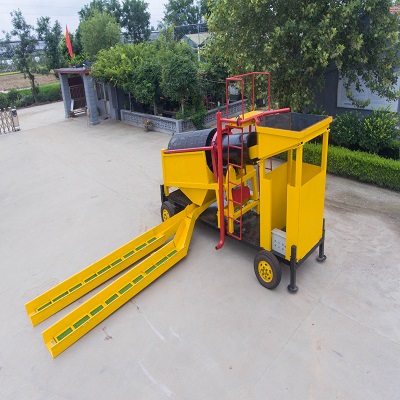
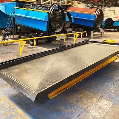
1. Natural heavy sand method
Utilizing the principle that placer gold particles have a relatively large specific gravity and can be directly separated by elutriation trays, it is a method to dig pits and take samples on the surface or not deep of loose sediments, and directly elutriate to determine whether there is placer gold. The natural heavy sand method, that is, the heavy sand measurement method, is often used in the heavy sand measurement of rivers with different scales, to delineate heavy sand abnormal areas, to understand the source and occurrence geological characteristics of placer gold, and to delineate favorable locations for placer gold.
Sampling can be heavy sand sampling in stream sediments, outcrop sampling of terraced gravel deposits or residual layer sampling on hillsides. The first two kinds of sampling are used to understand the gold-bearing nature of the water system sediments and the approximate distribution range of gold, as well as the grade and thickness of the gold-bearing layer in the terraces. The latter sampling is used to trace the source of placer gold and narrow down the direction and scope of placer gold prospecting. The natural heavy sand method is widely used in river system sediments and is called the river natural heavy sand method.
The natural heavy sand method requires only a shovel and a pan for sampling. Sampling volume, quality, location and network density can be determined according to landform and geological conditions. For placer gold anomalous areas, intensive control and some large samples can be taken to correctly determine the gold-bearing layers and gold-bearing properties.
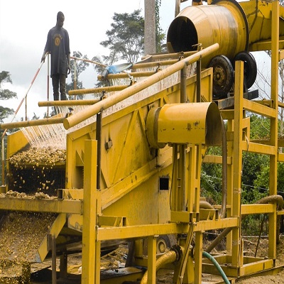
2. Engineering heavy sand method
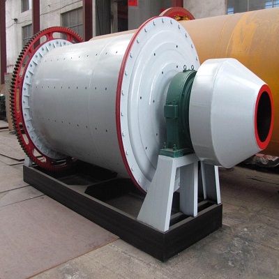
It is a method to use sand drilling or exploratory engineering to pass through the loose sediment layer and take samples systematically to understand the gold-bearing situation of the loose matter and directly determine the grade of the gold-bearing layer. The engineering heavy sand method can find out the enrichment of placer gold in deep places and provide direct prospecting information.
The layout of the project should be based on the geological and geomorphic conditions. According to the signs and clues of ore prospecting, sand drills or exploratory wells are laid out according to a certain engineering grid in favorable ore-forming positions. Projects should be laid out in order from sparse to dense, from known to unknown. No matter what kind of project, it is necessary to penetrate the gold-bearing layer and control the depth of at least 0.2 m below the bedrock surface.
3. Survey of old mining traces of placer gold and folk mining
In the upper reaches of rivers or in tributaries and fine valleys in many placer gold mining areas, there are often traces of manual old mining of placer gold, which are effective signs of placer gold prospecting. According to the old mining traces, further development of placer gold prospecting often receives good results. Through the investigation of folk mining, a lot of valuable information about the geological characteristics, laws and prospecting clues of placer gold in the area can be obtained.
Facts have also proved that the old placer gold mining areas that have been mined can still form new placer gold enrichment after decades of river, wind, rain and other external forces; Under technical conditions, it is often an industrial ore body with industrial utilization value.
4. Geological and geomorphic survey methods
Geological and geomorphological survey method is the basic method of placer gold prospecting, mainly used for analysis of placer gold ore-forming conditions and prediction of favorable ore-forming areas. In the stage of ore prospecting, the survey of river valley routes is mainly carried out. In the survey, natural outcrop method and river debris observation method can be used to compare with known gold-producing rocks. Combined with natural heavy sand sampling, understand the gold content, and determine the source and enrichment degree of placer gold indirectly or directly. In the survey, attention should be paid to the structural background of the valley and its geological phenomena related to gold mineralization.
Geomorphological surveys are mainly to divide valley types and geomorphic units, and determine their scale, distribution, origin, sediment characteristics, and gold-bearing properties, etc., and draw them on topographic maps with a scale of 1:50,000 or 1:25,000 to outline the geomorphology Quaternary geological sketches, marking the boundaries of geomorphic units, providing a basis for arranging sampling projects and delineating ore bodies.